The Crisis of the 1930s
The drought that took place on the Great Plains during hte 1930s did not happen in a vacuum. The same set of factors impacted Michigan as a whole, with lower amounts of precipitation, lower levels in the Great Lakes, and the hottest single day in Michigan's history by 1936.
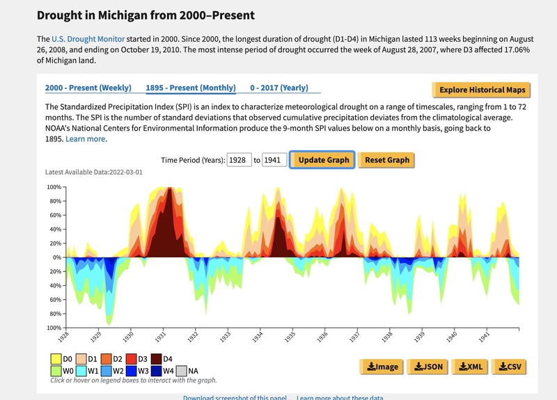
As this graph indicates, drought is not a complete absence of precipitation, but a pattern over a longer period of time combined with other factors. This combination would have great significance for Ottawa County's agricultural foundation.
Dune erosion and blowing sand had long been an issue for farms near the lakeshore, but it became a greater issue during the 1930s. Not only did the lessened level of precipitation dry farmland, it would also lower lake levels, and combined with warmer seasons with greater wind velocities, set dunes in motion.
The same drought and persistent winds along with farming practices meant that erosion removed topsoil and exposed the sandy sub-soils that then spread across farm fields. Sudden heavy rains swept soils into watersheds or away from fields.
Orchards and farms owned by "suitcase" farmers who tended their land only sporadically before returning to places like Chicago did little to arrest issues on their land. Neighboring farmers, already struggling, had to deal with these effects spreading onto their lands.
The economic crisis of the Great Depression further deepened farmers' problems as prices dropped and consumption declined.
- Title
- Historical graph of drought effects in Michigan, 1928 to 1941
- Creator
- National Integrated Drought Information System
- Publisher
- drought.gov
- Date
- 1935
- Contributor
- Matthew Daley
- Format
- Still Image
- Type
- The graph shows the length and duration of drought in Michigan from 1928 to 1941, with the limited wet periods during the same time.
- Rights Holder
- Public Domain
- Item sets
- Muskegon 99D Local History
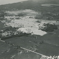
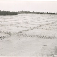
- Title
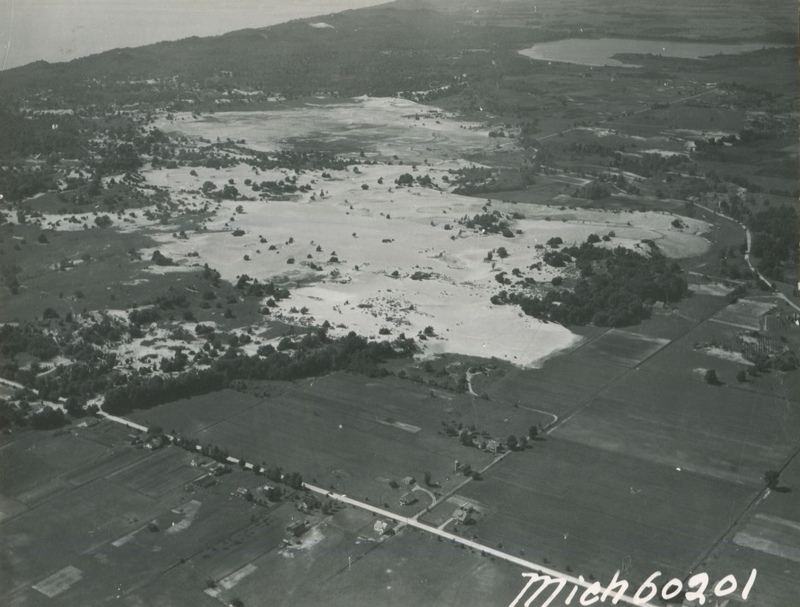
- Dune emergence in woodlots/farmland along Ottawa and Muskegon County border.
- Description
- Dune emergence from blowing sand south of Little Black Lake and north of Hickory Street near Ottawa and Muskegon County lines in 1938.
- Creator
- West Ottawa County Soil and Water Conservation District
- Publisher
- Matthew Daley
- Format
- Still Image
- Rights Holder
- Public Domain
- Item sets
- Muskegon 99D Local History
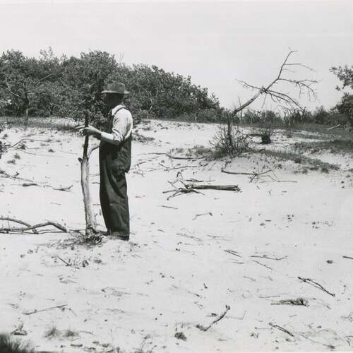
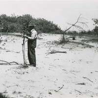
- Title
- Abandoned apple orchard, Ottawa County, Michigan
- Description
- Abandoned apple orchard in Park Township north of Holland, Michigan.
- Creator
- West Ottawa Soil and Water Conservation District
- Publisher
- Matthew Daley
- Format
- Still Image
- Language
- English
- Rights Holder
- Public Domain
- Item sets
- Muskegon 99D Local History
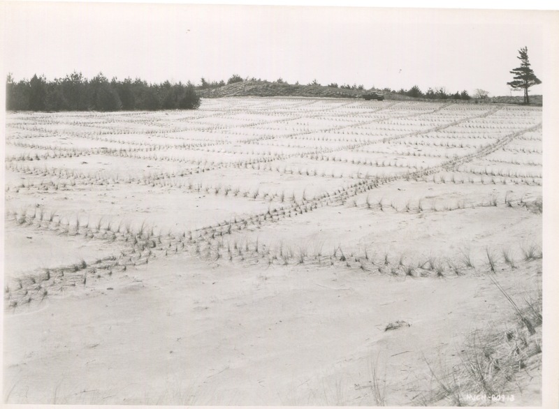
- Title
- Sandblow Stabilization, Skeleton Beach Grass, March 17. 1953
- Item sets
- Muskegon 99D Local History
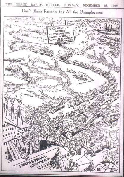
- Title
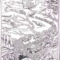
- Don't Blame Factories for all the Unemployment
- Description
- Editorial cartoon from the Grand Rapids Herald Newspaper in 1939 that reminds readers of the issues facing farmers and land use in rural areas.
- Creator
- Grand Rapids Herald
- Publisher
- Matthew Daley
- Date
- 12-18-1939
- Contributor
- Matthew Daley
- Format
- Slide image
- Item sets
- Muskegon 99D Local History